
Maritime & Ocean Monitoring

Advanced Monitoring Beyond the Horizon, Protecting EEZ Waters and Delivering Actionable Ocean Insights Across Extensive Maritime Areas.

How Do We Help ?

National Dynamics delivers integrated maritime monitoring and oceanographic solutions that provide authorities, port operators, research institutions and environmental organizations with enhanced visibility across coastal waters and Exclusive Economic Zones. By combining wide-area vessel monitoring, identification data, coastal sensors, secure communications and advanced visualization tools, we support maritime safety, environmental protection, regulatory compliance and the sustainable management of marine resources.
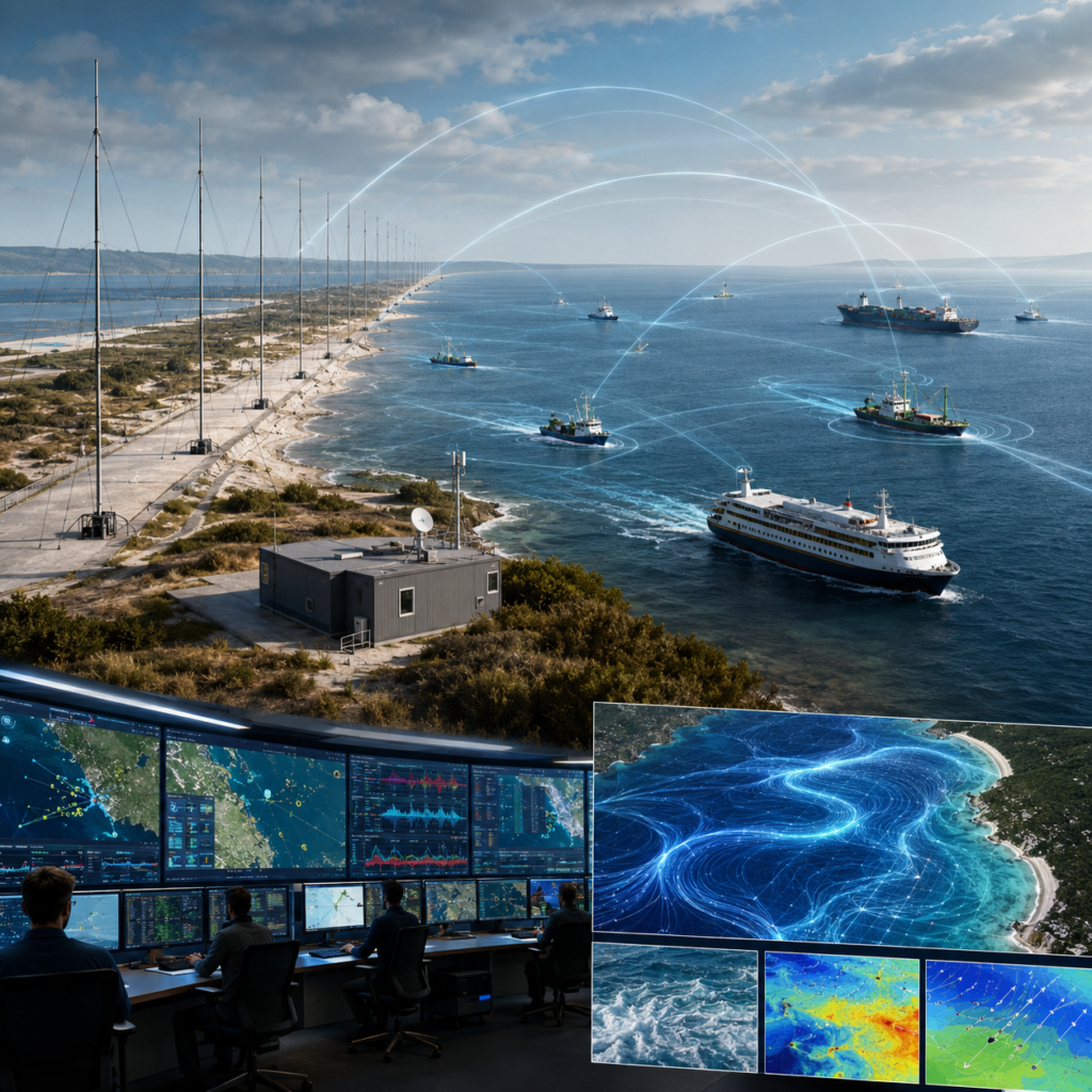
 

Maritime Monitoring Beyond the Horizon

Our shore-based, beyond-the-horizon systems enable continuous vessel detection and tracking across extensive maritime areas, with configurations capable of monitoring EEZ waters up to approximately 200 nautical miles from the coastline, subject to system design and local operating conditions. An advanced AI-based software platform analyzes vessel routes, speed, direction, stopping patterns and interactions to identify unusual behaviour and potential non-compliant activity in real time. The platform supports the early identification of Illegal, Unreported and Unregulated (IUU) fishing, smuggling, unauthorized transshipment, restricted-area entry and unlawful ocean discharge, including the suspected release or dumping of toxic substances, oil, chemicals, waste and other pollutants. By correlating information from multiple sources, it presents a unified operational view that helps civilian authorities investigate anomalies, prioritize inspections and strengthen the protection of fisheries, coastal communities and the Blue Economy.

KEY POINTS
  • Wide-Area EEZ Coverage: Monitoring of coastal and offshore waters at ranges of up to approximately 200 nautical miles from the coastline, subject to system configuration and local conditions.
  • Continuous Vessel Detection: Persistent identification and tracking of vessels across extensive maritime areas, including locations beyond the reach of conventional coastal systems.
  • Real-Time Operational View: Live presentation of vessel movements, routes and activity within a centralized monitoring environment.
  • Behavioural Analysis: Automated analysis of speed, direction, route changes, loitering, stopping patterns and vessel interactions to identify unusual activity.
  • IUU Fishing Detection: Movement recognition patterns associated with Illegal, Unreported & Unregulated fishing and other non-compliant fishing practices.
  • Unauthorized Transshipment Monitoring: Detection of suspicious vessel-to-vessel meetings, prolonged proximity and offshore cargo-transfer activity.
  • Smuggling & Unlawful Activity Detection: Support for identifying irregular routing, covert movements, restricted-area entry and other potentially illegal maritime activities.
  • Illegal Ocean Discharge Monitoring: Identification of vessel behaviour potentially linked to the unlawful discharge or dumping of toxic substances, oil, chemicals, waste and other pollutants.
  • Multi-Source Data Integration: Correlation of vessel-identification information, coastal sensors, satellite data and other relevant sources within one platform.
  • Reporting and Regulatory Support: Automated alerts, incident records, historical playback and analytical reports to support investigations, inspections and regulatory enforcement.


Ocean Monitoring (Oceanographic Data)

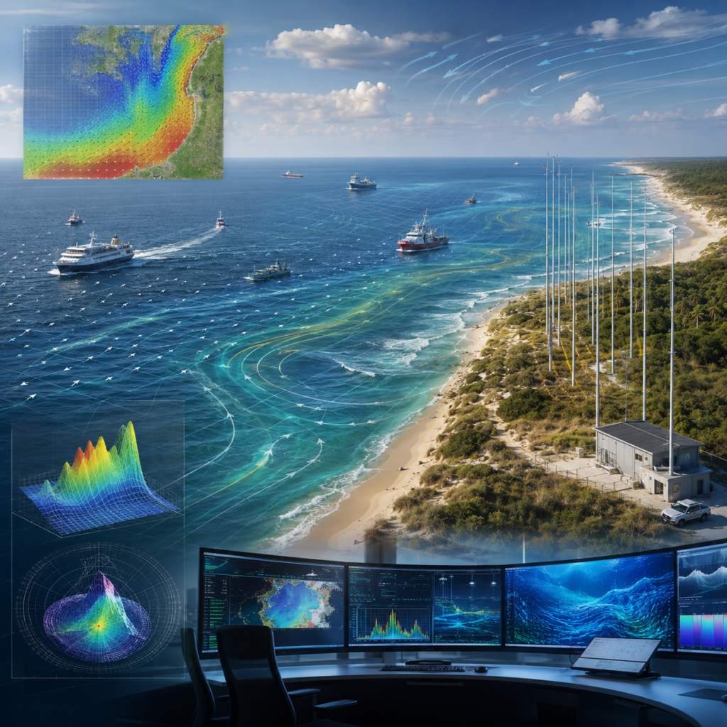
Our oceanographic systems deliver high-resolution, near-real-time information on sea-surface currents, wave conditions and wind patterns across coastal, offshore and EEZ waters. Continuous measurements and historical datasets support marine research, port operations, navigation planning, environmental assessment and regional forecasting. Advanced analytics help identify unusual ocean behaviour and improve preparedness for tsunamis, storm surges, coastal flooding and other marine hazards. Drift modelling estimates the movement of missing persons, oil spills, drifting vessels, floating containers and marine debris, supporting faster and more coordinated response activities. The resulting insights also assist shoreline management, pollution tracking, fisheries planning, ecosystem protection and climate-related studies. By translating complex marine data into practical information, the solution enables safer operations and more sustainable management of coastal and offshore resources.

KEY POINTS
  • Sea-Surface Current Mapping: High-resolution measurement and visualization of current speed and direction across coastal and offshore waters.
  • Wave Monitoring: Continuous assessment of wave height, period and direction to support marine planning and coastal safety.
  • Wind Pattern Analysis: Collection and interpretation of offshore wind data for environmental assessment and operational forecasting.
  • Tsunami Awareness: Detection of unusual sea-surface patterns that may contribute to tsunami observation and early-warning processes.
  • Coastal-Hazard Monitoring: Support for assessing storm surges, extreme wave conditions, coastal flooding and other marine hazards.
  • Drift Modelling: Prediction of the movement of missing persons, oil spills, drifting vessels, floating containers and marine debris.
  • Pollution Tracking: Monitoring and forecasting the spread of oil, chemicals, waste and other pollutants following an ocean-discharge incident.
  • Search-and-Rescue Support: Current and wave data that help estimate probable drift paths and improve the planning of civilian rescue operations.
  • Environmental & Marine Research: Real-time & historical datasets for ecosystem studies, coastal analysis, climate research and water-resource management.
  • Port and Offshore Planning: Ocean-condition information supporting port operations, route planning, dredging activities, offshore development and marine infrastructure management.